-
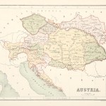
Austria, Czechoslovakia, Hungary, Poland, Ukraine (64)
-
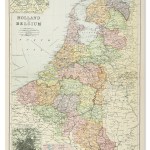
Belgium & Holland/Netherlands (80)
-
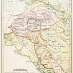
Caucasus: Armenia, Azerbaijan, Georgia (20)
-
Europe Continent (118)
-
France (204)
-
Germany (189)
-
Greece, Balkans, Cyprus, Bulgaria, Albania, Macedonia (158)
-
Italy (194)
-
Malta (7)
-
Russia (136)
-
Scandinavia: Denmark, Finland, Iceland, Norway and Sweden (86)
-
Spain & Portugal (104)
-
Switzerland (43)
Showing 865–874 of 874 results
-

1905
Map of the War in the Far East
$A 475 Add to cart -
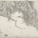
![[EUROPE-SPAIN] North West Coast Ria El Ferrol from the Spanish Government Charts of 1913-14.](https://antiqueprintmaproom.com/wp-content/uploads/2020/06/mg_7609_copy-270x134.jpg "[EUROPE-SPAIN] North West Coast Ria El Ferrol from the Spanish Government Charts of 1913-14. Europe")
1916
[EUROPE-SPAIN] North West Coast Ria El Ferrol from the Spanish Government Charts of 1913-14.
$A 175 Add to cart -

1920
Ports of Spain, Portugal & Western France.
$A 175 Add to cart -

1920
Europe’s Overland and Sea Communications with the East.
$A 175 Add to cart -

1920
The Western Mediterranean
$A 245 Add to cart -

1920
The Eastern Mediterranean
$A 195 Add to cart -

1920
The Baltic Sea
$A 175 Add to cart -
![[MEDITERRANEAN] Mediterranean and Black Seas](https://antiqueprintmaproom.com/wp-content/uploads/2022/09/MG_6392-copy-270x149.jpg "[MEDITERRANEAN] Mediterranean and Black Seas MIDDLE EAST")
1921
[MEDITERRANEAN] Mediterranean and Black Seas
$A 950 Add to cart -

1935
Do You Know the Land?
$A 1,450 Add to cart -

1948
Cyprus
$A 85 Add to cart
Showing 865–874 of 874 results